Altea Beaches 2026: A Guide to the Pebbled Coastline
Forget golden sand—this guide explores the coves, pebble shores, and clear waters defining Altea’s unique Costa Blanca shoreline for 2026.
Published on 12 Oct 2026 12:32 GMT
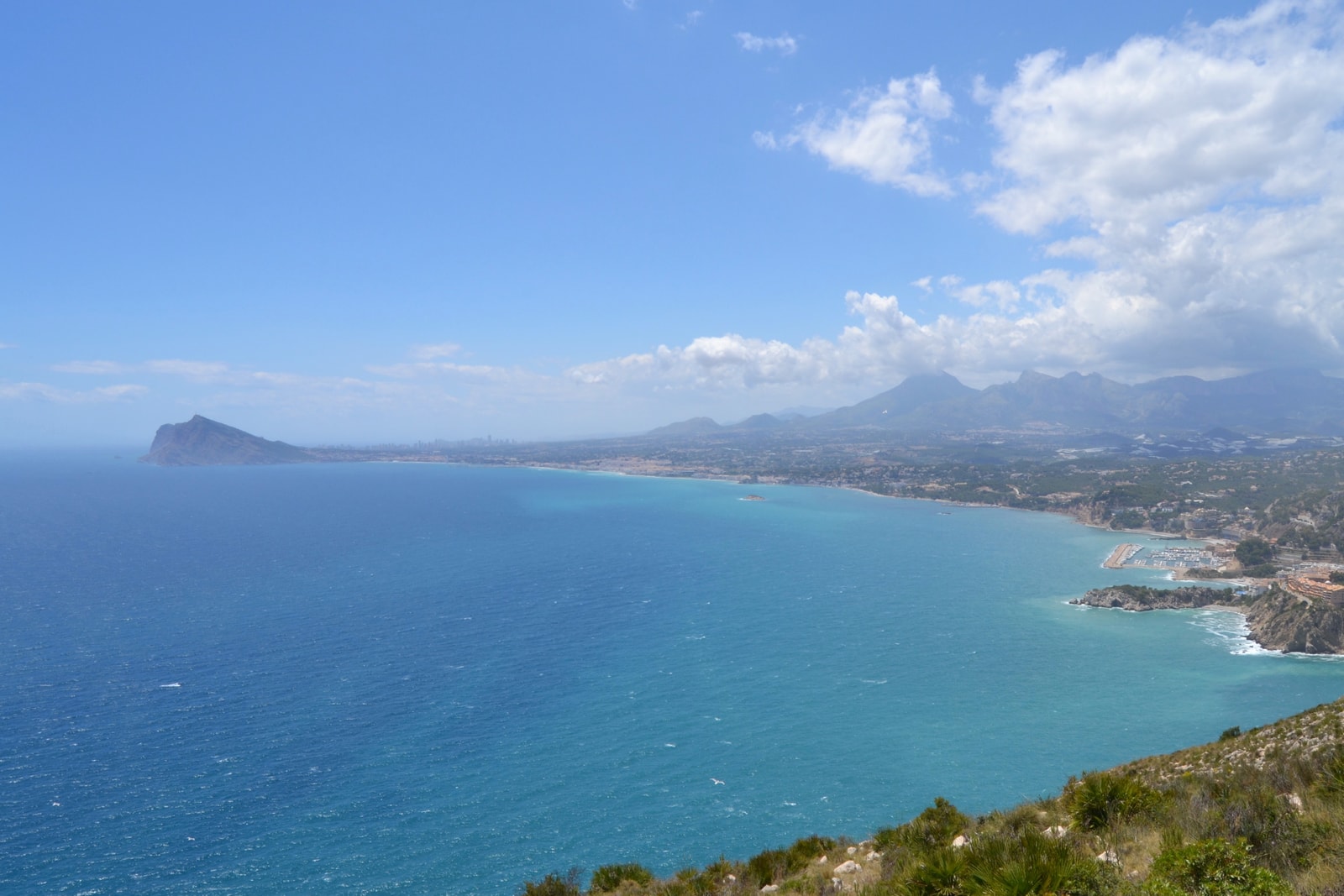
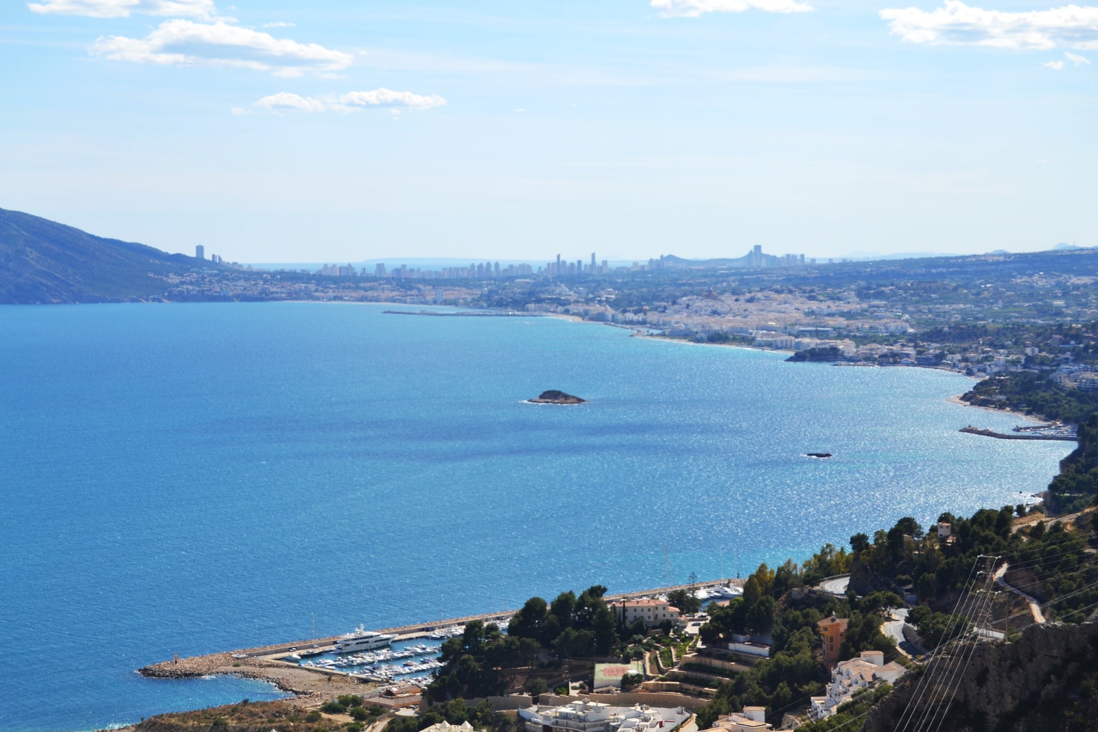
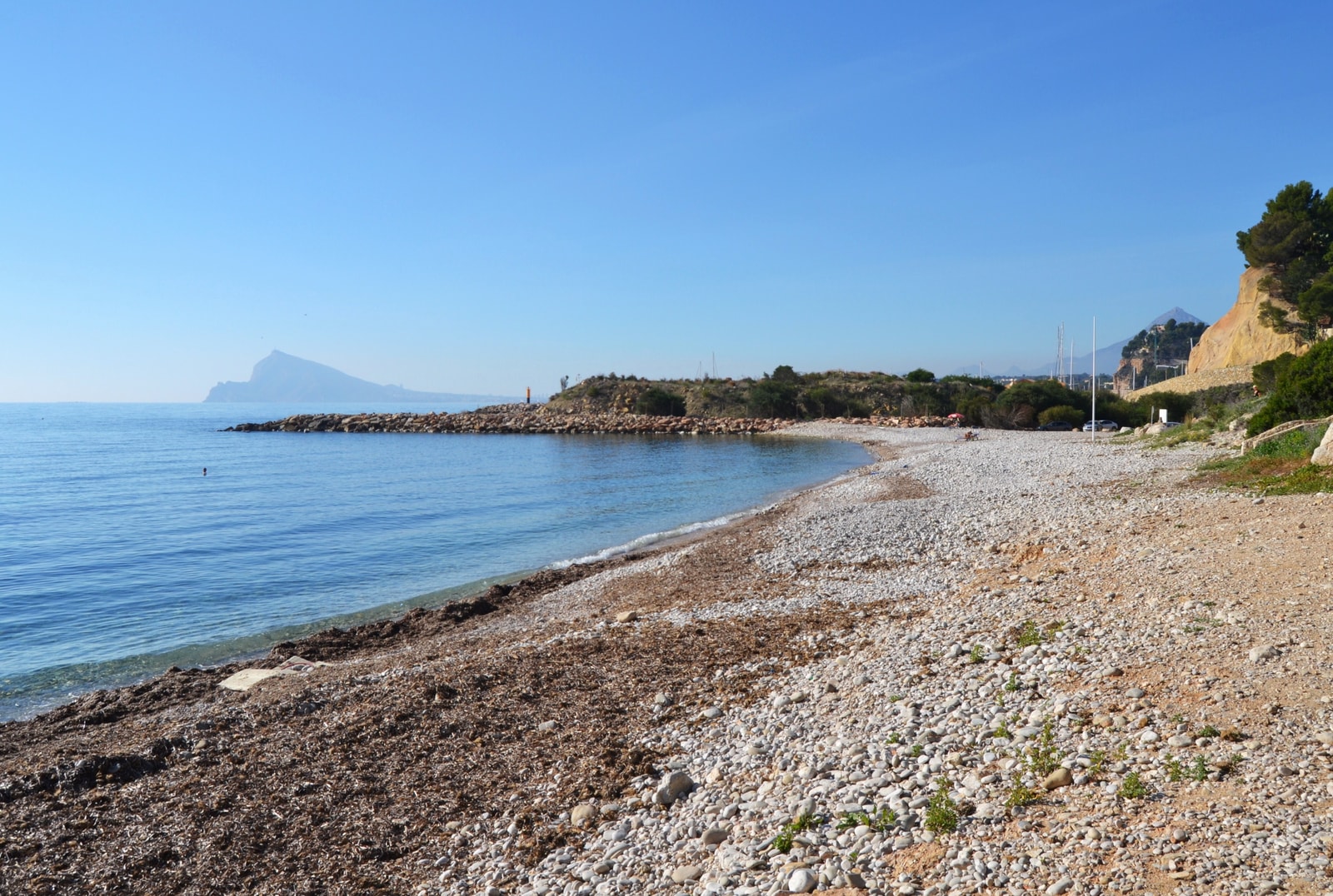
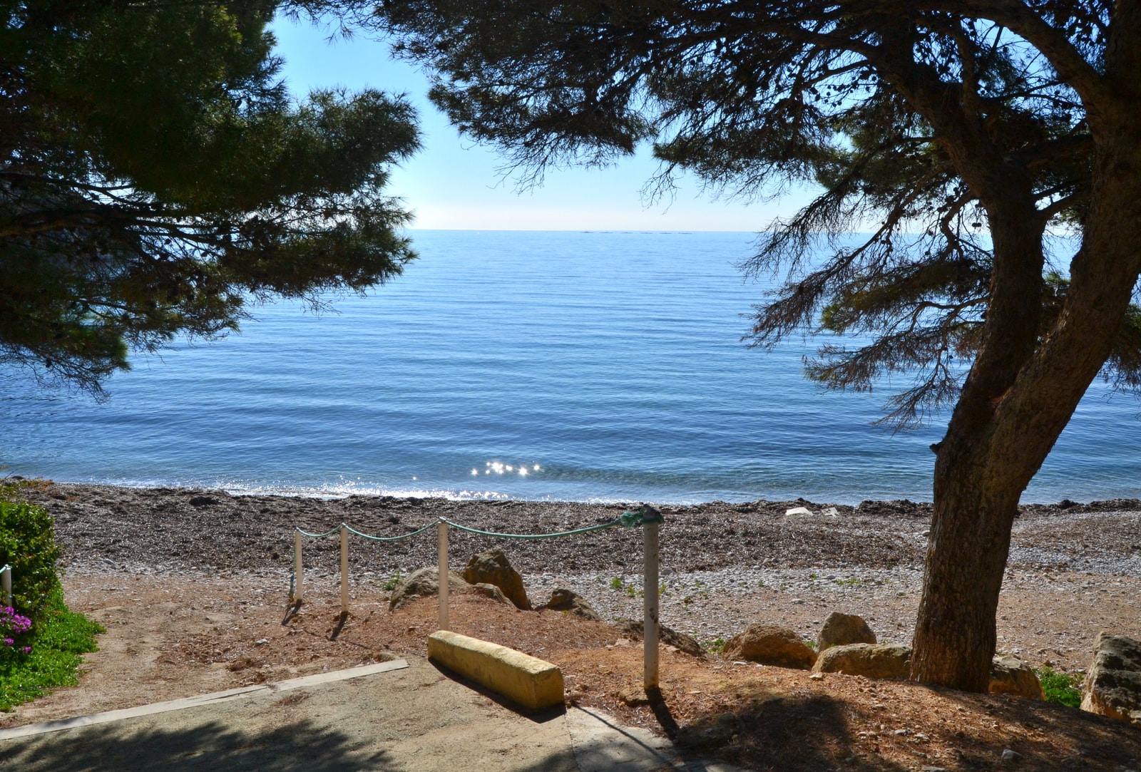
Stretching along six kilometres of Spain's Costa Blanca, Altea offers a different kind of beach day. Instead of fine sand, you'll find a coastline defined by pebbles, smooth gravel, and rocky coves set against cliffs and clear Mediterranean water.
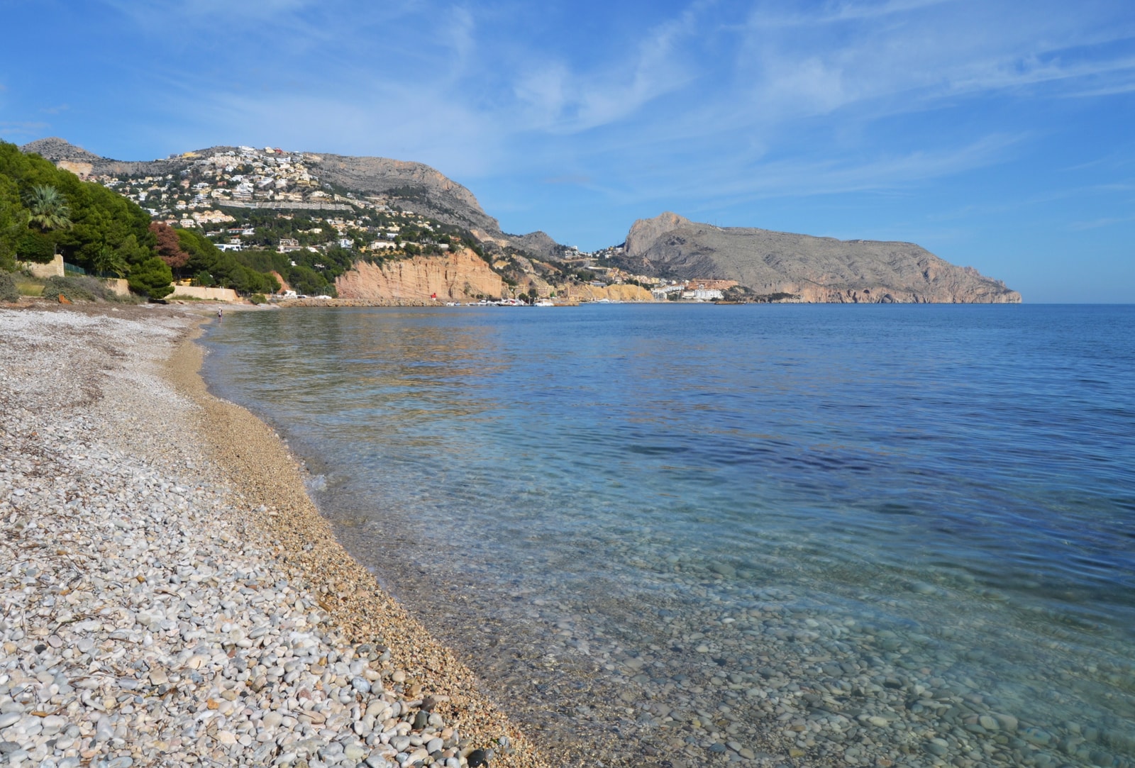
The unique texture of Altea's beaches makes them a haven for those seeking scenic beauty over sandy expanses. To make the most of the stony shores and uneven sea entries, a pair of water shoes or sturdy aquatic sandals is a practical necessity.
The Central Waterfront: L’Espigó and Playa de la Roda
For easy access from town, the central waterfront is the place to start. L’Espigó is the most central beach, a shore of rounded stones framed by two breakwaters right next to the mouth of the Algar River.
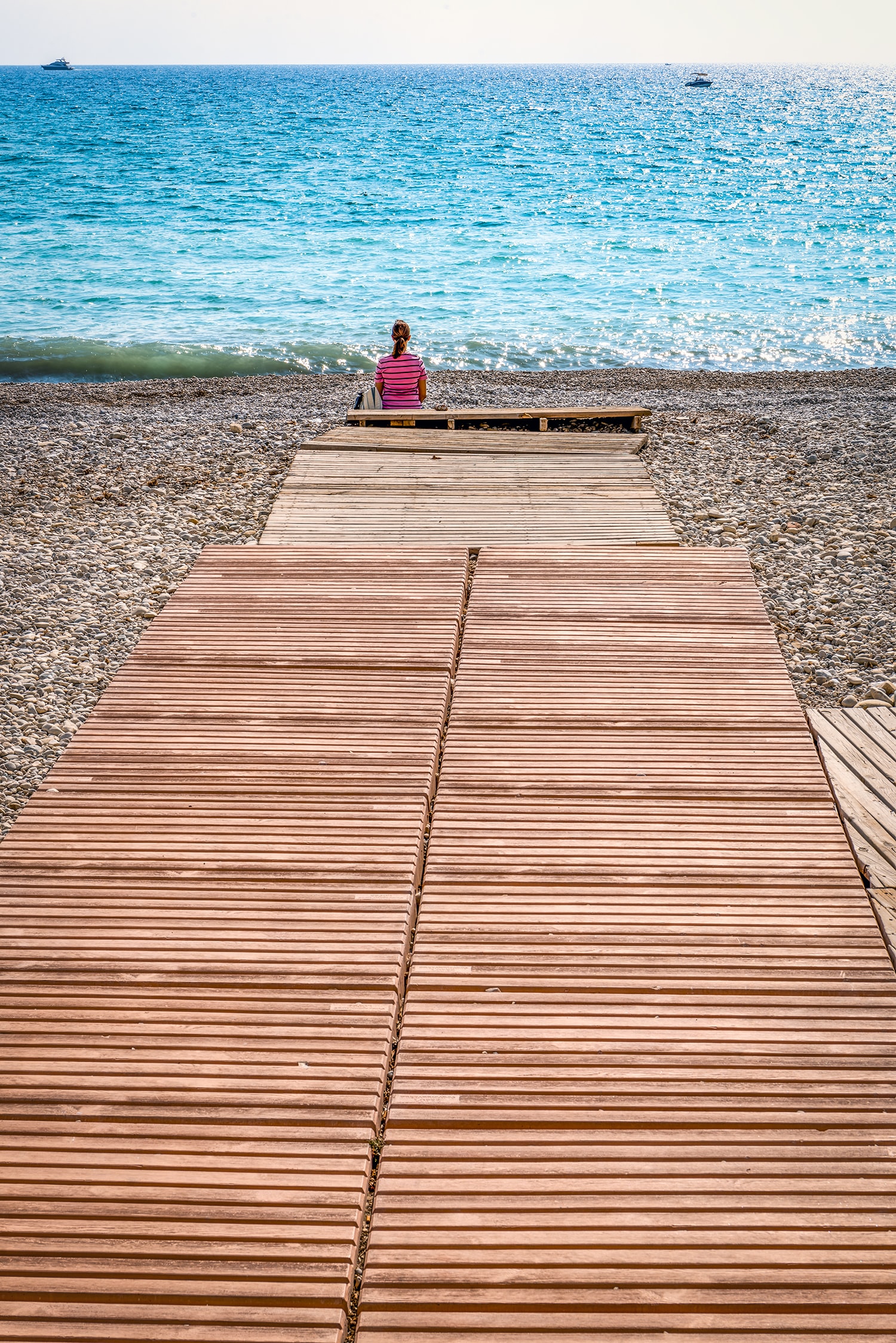
Just along the promenade is Playa de la Roda, an urban beach with a mix of sand and gravel. It's an ideal spot for combining a swim with a stroll through Altea's old town.
L’Espigó and La Roda received Blue Flag recognition for 2026. This is a seasonal award, not a guarantee of conditions on every visit. La Roda temporarily closed to bathing on June 18 and reopened on June 19 after repeat testing. That incident is historical context, not evidence of an ongoing closure; follow current notices.
Which central beach? Choose L’Espigó for the river-mouth end of the promenade and a straightforward town-based outing; choose La Roda when nearby cafés and the southern waterfront fit your plans. Both are practical without a car, but neither offers the soft-sand experience of neighbouring resorts. For children or less confident walkers, use established access over the stones rather than assuming the whole shore is equally easy to cross.
Old town or waterfront? The seafront is the easier part of an Altea walking day. The historic centre and church sit uphill, so combining them with the beach involves slopes and steps on some routes. Do the climb separately if travelling with a pushchair or limited mobility. Shade at a café is not the same as shade on the beach: bring sun protection and check which facilities are open at your chosen entrance.
The Southern Stretch: Cap Blanc
Toward the southern end of Altea's coast lies Cap Blanc, also referred to as Cap Blanch. This pebble-and-gravel waterfront continues towards the neighboring resort of Albir, which belongs to the municipality of L'Alfàs del Pi.
Like the central beaches, Cap Blanc also earned a Blue Flag in 2026 and was designated by the municipality as having an accessible bathing point for the season, with features like access walkways.
Choose it for: a longer waterfront outing on the Albir side of Altea, rather than a small secluded cove. Cap Blanch is especially convenient if staying along this southern stretch. It is less convenient than the central beaches for someone who only has a short sightseeing break in town; plan the return rather than walking farther south without checking the distance.
Practical trade-off: the stony entry still calls for secure footwear, even where access walkways are provided. The municipal accessible bathing point was a summer-season provision; confirm current assistance before relying on it in October–December. Bring water and portable shade for a longer outing and do not assume every seasonal rental or beach service remains open.
Playa de l’Olla: A Scenic Bay with Islets
For a more scenic setting, Playa de l’Olla is a standout. This bay is known for its varied shore of pebbles, rocks, and small sandy patches, with two distinctive islets, L’Illeta and L’Illot, sitting just offshore.
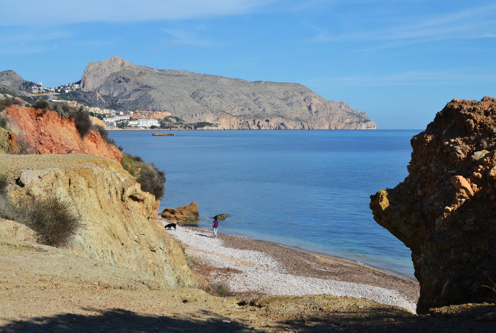
The calm waters make it an appealing spot for kayaking and paddleboarding. The area also features a designated dog-friendly section toward Porto Senso, but be sure to check local signage for seasonal rules.
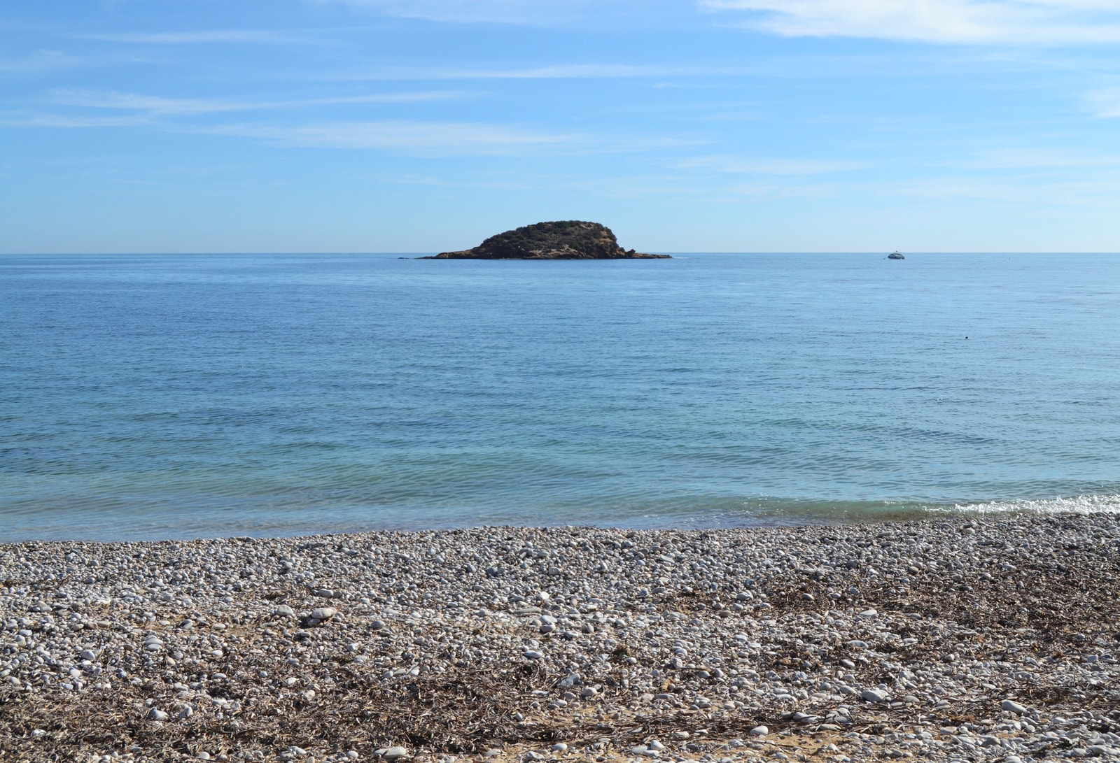
Choose it for: the islet views and a more scenic coastal stop north of central Altea. L’Olla suits visitors who want to spend time by the shore rather than make the old town their immediate backdrop. Its mixed stones and rock patches make it less suitable for anyone expecting a broad sandy play area.
Practical trade-off: arrange how you will reach your particular beach entrance and get back; the long coast is not one continuous accessible promenade. Bring water shoes and check the local dog-zone signs rather than treating all of l’Olla as dog-friendly. Kayaking and paddleboarding require suitable wind and sea conditions, not simply a generally calm reputation.
Cap Negret: Open Views North of the Center
North of the town center, beyond the Algar River, the coastline opens up at Cap Negret. This long stretch of gravel and pebbles offers a more expansive feeling than the central beaches, with wide views of the coast and nearby mountains.
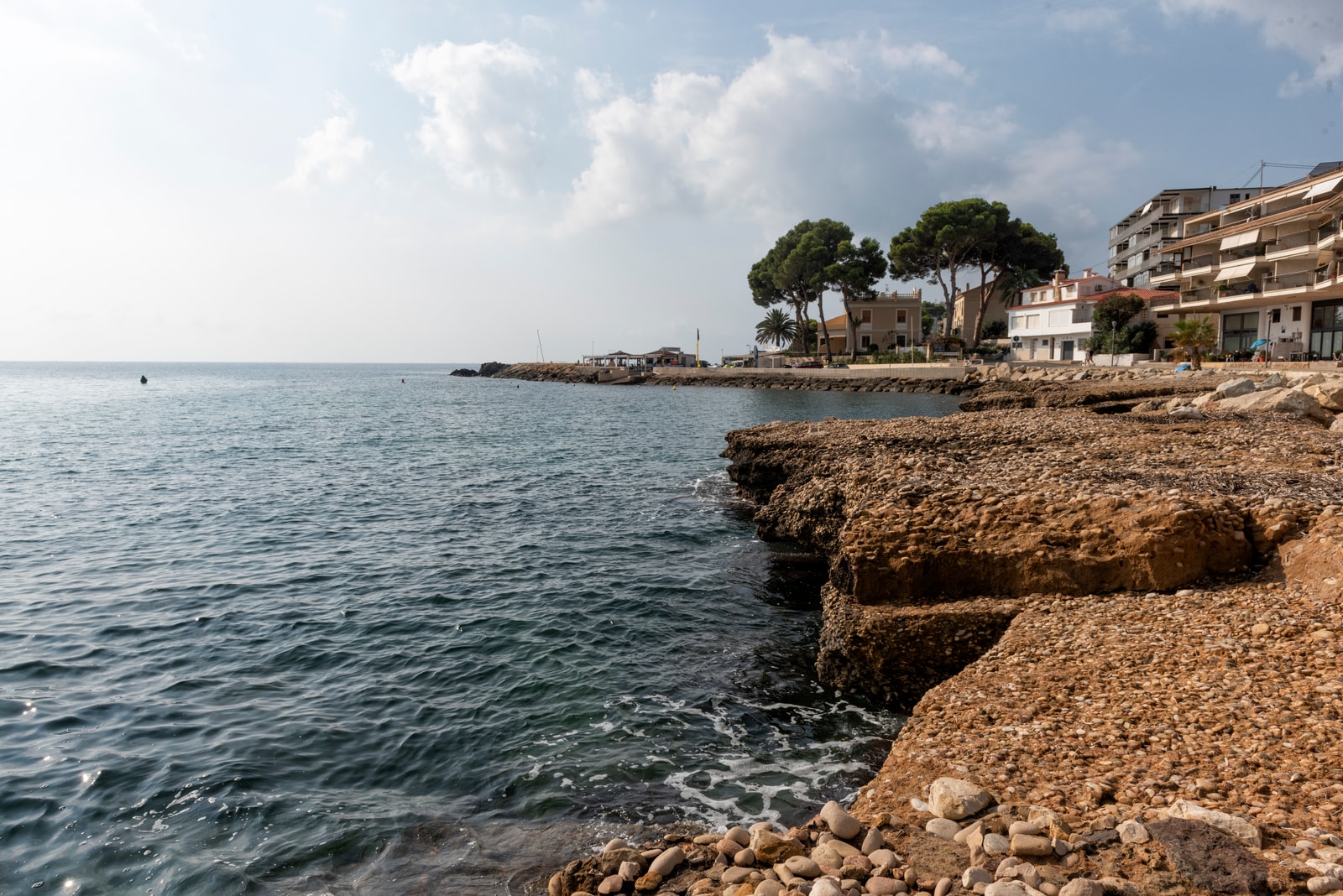
This beach provides a classic Altea experience: a stony shore, clear water, and a scenic backdrop. While facilities are available, it's always best to confirm their operating dates for the 2026 season.
Choose it for: more open shore and views while remaining on the town’s northern side. The official regional guide lists walkways, foot showers, nearby restaurants and seasonal rentals. Cap Negret is a useful alternative to central La Roda when your accommodation is nearby, but a longer shore does not guarantee fewer people or calmer water.
Practical trade-off: gravel is less comfortable for bare feet and lying down than sand. Use a mat or lounger when available, and check toilet, parking and rental availability locally. In late autumn and winter, choose it for scenery on a suitable day; do not make a swimming plan solely because the water looks clear.
Quiet Coves: Cala del Soio and La Solsida
For those seeking a more natural setting, Altea's coastline is dotted with smaller coves. Near Portet de l’Olla, Cala del Soio is a rocky, pebble-and-gravel cove known for its rock formations and Posidonia seagrass meadows.
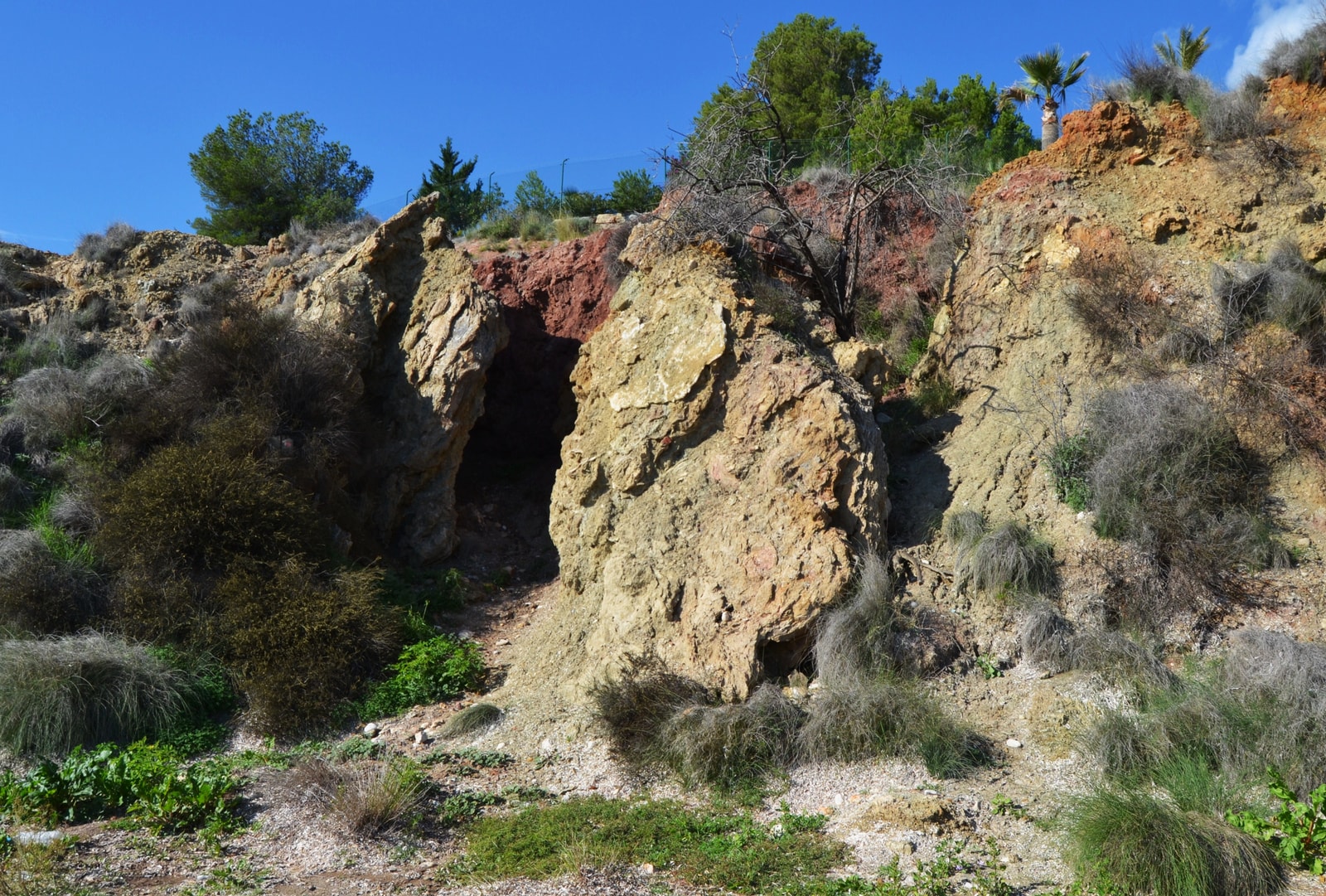
Further along, La Solsida is a rocky pebble cove edged by cliffs that is designated as a naturist beach. Access is via a footpath, so visitors should consider the terrain, particularly those with mobility needs.
Which cove? Cala del Soio is the choice for geological interest around Cap Negret and Portet de l’Olla; La Solsida suits visitors specifically seeking a more natural, designated naturist setting. Neither should be presented as the easiest family beach or a guaranteed quiet escape. Bring suitable footwear, water and a bag for rubbish, and check the actual path before committing if steps or uneven ground are a concern.
The Rugged North: Mascarat and La Barreta
The northernmost part of Altea’s coast, around Mascarat, offers the most rugged and wild settings. This area is a collection of coves and inlets rather than one continuous beach, perfect for visitors looking for a less conventional spot.
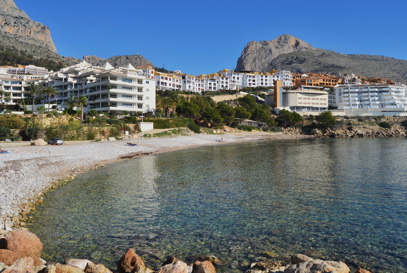
Mascarat Norte is a semi-urban pebble-and-gravel beach next to the marina. Nearby, La Barreta is described as a more rustic gravel cove. This end of the coast is less serviced, so check your route and sea conditions before heading out.
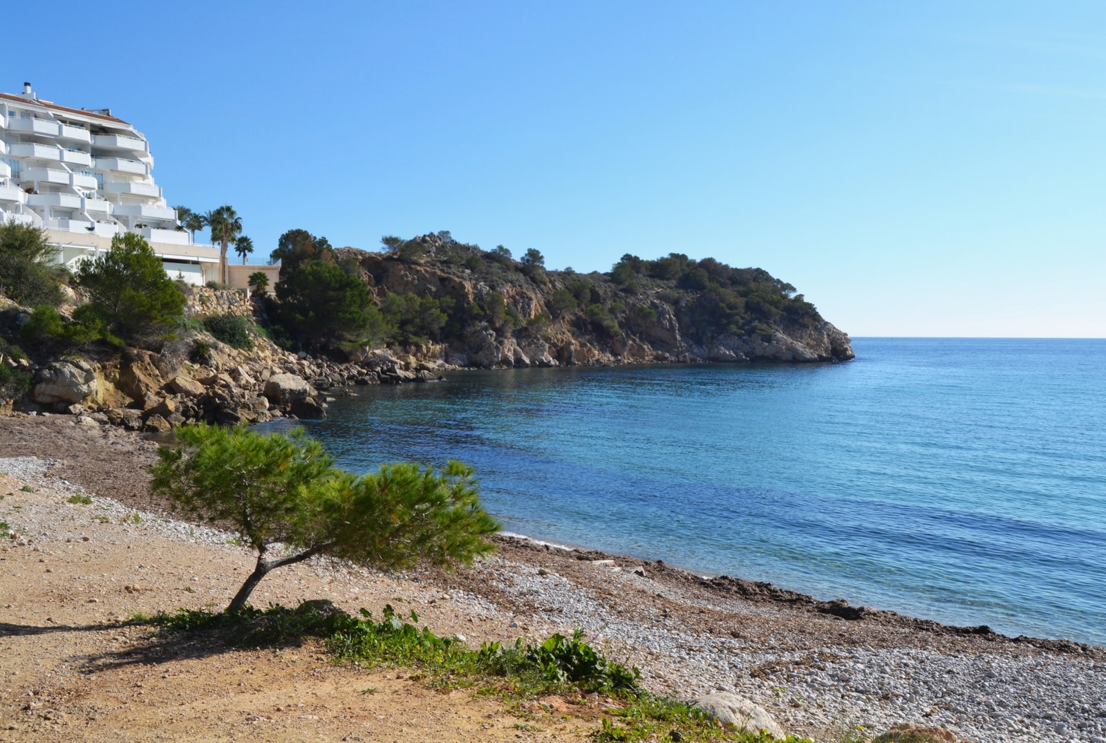
Choose it for: headland scenery and a planned outing beyond the central promenade. Mascarat combines its rocky setting with nearby marina development; it is not an untouched wilderness. Spain’s official listing for Mascarat Norte describes pebble and gravel, moderate waves, and rental services. Those listings do not guarantee year-round operation.
Mascarat versus La Barreta: use the marina-side beach for a more straightforward arrival and nearby activity; choose La Barreta only after checking the cove access and bringing what you need. Check parking signs and avoid blocking narrow access roads. In October–December, allow daylight for the return and keep away from cliff edges or wave-washed rocks. For the simplest no-car day, stay with L’Espigó or La Roda instead.
Getting Around Altea’s Beaches: Walking, Transport and Parking
Without a car: start with L’Espigó and La Roda, choosing the nearest central promenade access to your accommodation. Cap Blanch extends south toward Albir; Cap Negret and l’Olla lie north, while Mascarat requires a more deliberate trip. Do not assume the entire six-kilometre coastline is a continuous flat path. As a walking estimate, allow roughly 12–15 minutes per kilometre of a mapped paved route, plus stops and hills.
Public transport: TRAM d’Alacant Line 9 serves Altea and Olla Altea. Check the operator’s current route, timetable and any replacement arrangements, then map the walk from the station to your specific beach entrance. A station named for an area is not necessarily on the sand. For local buses or a return taxi, check current information before setting off; Mascarat is not an extension of the central beach stroll.
Parking: use signed town or beach-access parking and check restrictions and charges on arrival. A short walk from a legal space is preferable to expecting parking beside every cove. At La Solsida and the northern coves, inspect the footpath and return route before taking beach equipment down; avoid blocking marina roads, entrances or residential access.
Facilities and shade: central beaches are the simplest choices when nearby food and a café break matter. Beach toilets, showers, rentals and assisted bathing can have seasonal operating arrangements, so confirm what is available at the entrance you use. Bring water, a mat for the stones and sun protection; rocky scenery and a few coastal trees do not guarantee comfortable shade.
Altea Beach Visits in October, November and December
October: keep beach time flexible and combine it with the promenade or old town. For convenience, start at L’Espigó or La Roda; choose l’Olla or Cap Negret for a more scenic shoreline outing. Water clarity and warm air do not prove suitable swimming conditions, and the published summer lifeguard programme has already ended.
November: plan around coastal walks, views and meals rather than a guaranteed swimming holiday. Take a layer and rain protection, check the forecast and avoid rocky water-entry points when waves make footing uncertain. For a shorter outing with nearby alternatives, the central waterfront is more practical than a distant cove.
December: start excursions earlier to use the shorter daylight window and keep transport plans simple. Mascarat and La Solsida are better treated as suitable-weather outings with checked access, not automatic alternatives when the town shoreline is rough. Bring supplies and verify restaurant, rental and accessibility-service availability rather than relying on summer listings.
Choosing on the day: use actual wind, waves, water temperature and local warnings to decide whether to enter the sea. If conditions are uncertain, enjoy the beach from shore. The value of a late-year Altea visit is its mix of coastline, promenade and town—not a promise that every beach operates like a summer resort.
Beach Safety and Seasonal Services
Altea’s published summer 2026 rescue programme ran from June 1 to September 30, with daily hours of 11:00–19:00. Those dates do not establish coverage in October, November or December. Check current municipal notices and on-site information before entering the sea, and do not assume an unstaffed post means swimming is safe. Never swim where a red flag or bathing closure is in force.
Municipal notices for 2026 identified several accessible bathing points with adapted facilities. These include:
- Cap Blanc
- La Roda
- El Bol
- L’Espigó
Accessible entry infrastructure and staffed assisted bathing are different services. Confirm availability, booking arrangements and the facilities you need before an autumn or winter visit; a walkway may remain when summer assistance does not.
For official bathing water quality information, visitors can consult Spain's Health Ministry, but on-site flags and local notices provide the most current daily advice.
Gallery
Additional Resources
- Official Regional Tourism Guide to Altea
- Comunitat Valenciana - Playa de l’Espigó
- InSpain - La Roda Beach Information
- Altea 2026 Beach Rescue and Accessibility Notice
- Altea 2026 Blue Flag Announcement
- Spanish Health Ministry's NÁYADE Bathing Water Portal
- Guardia Civil Coastal Safety Guidance
- Comunitat Valenciana - La Solsida (Naturist Cove)
- Spain.info - Mascarat Norte Beach
- Comunitat Valenciana - Cala del Soio
- Comunitat Valenciana - La Barreta Cove
- Comunitat Valenciana - Playa de l'Olla
- Comunitat Valenciana - Cap Negret