Sotavento Beach, Fuerteventura: A December 2026 Guide
Find the tidal lagoon, choose your stretch and plan a December 2026 beach day.
Published on 18 Nov 2026 20:27 GMT
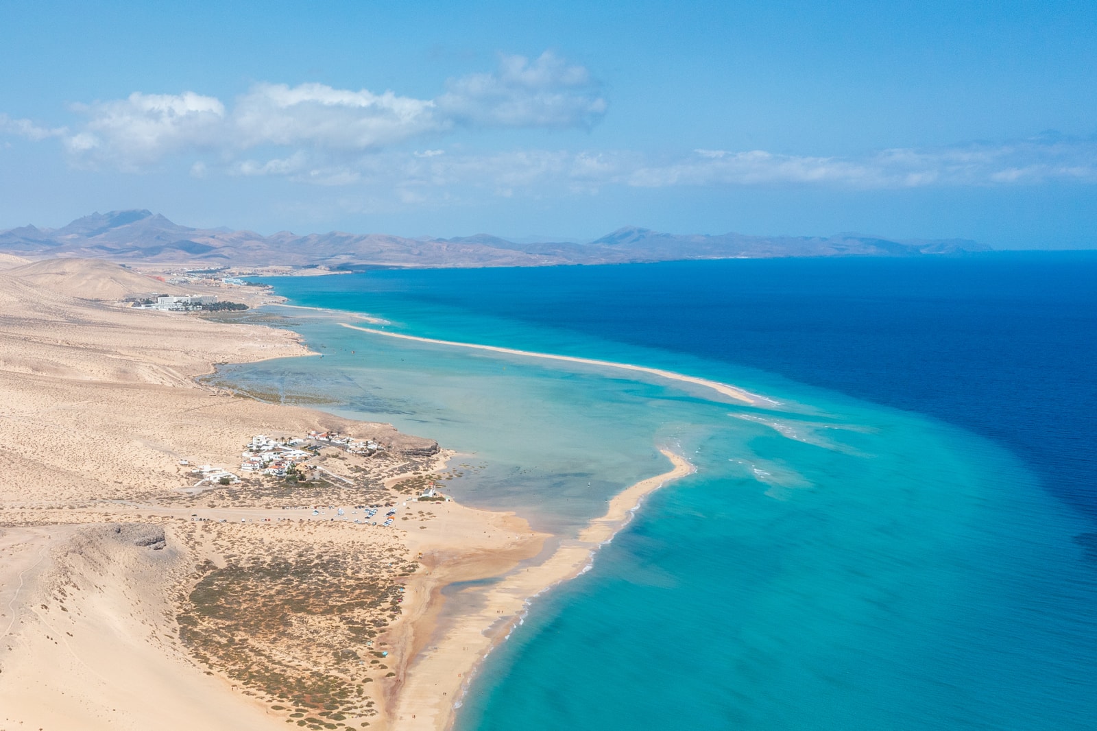
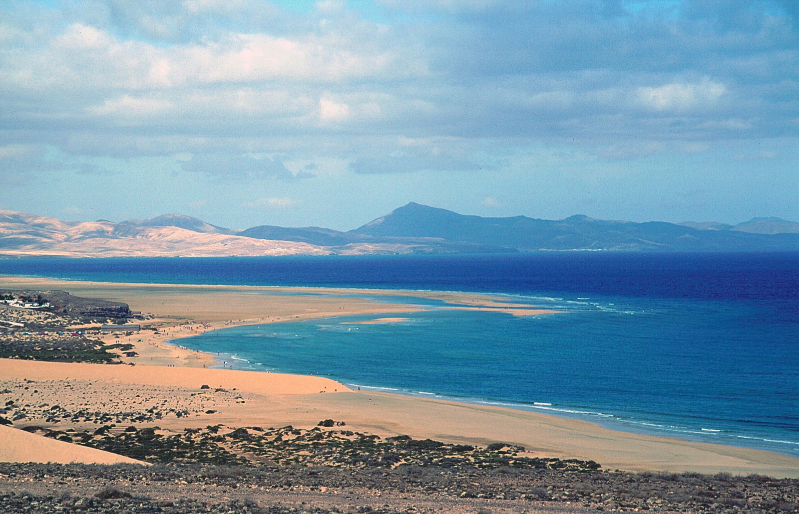
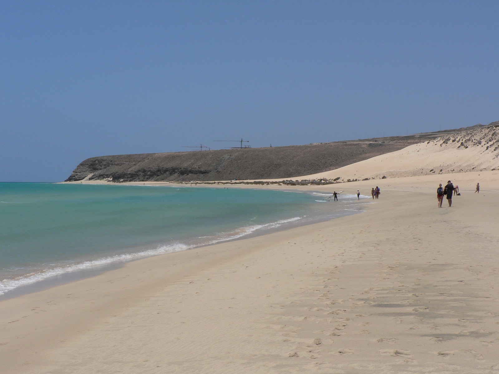
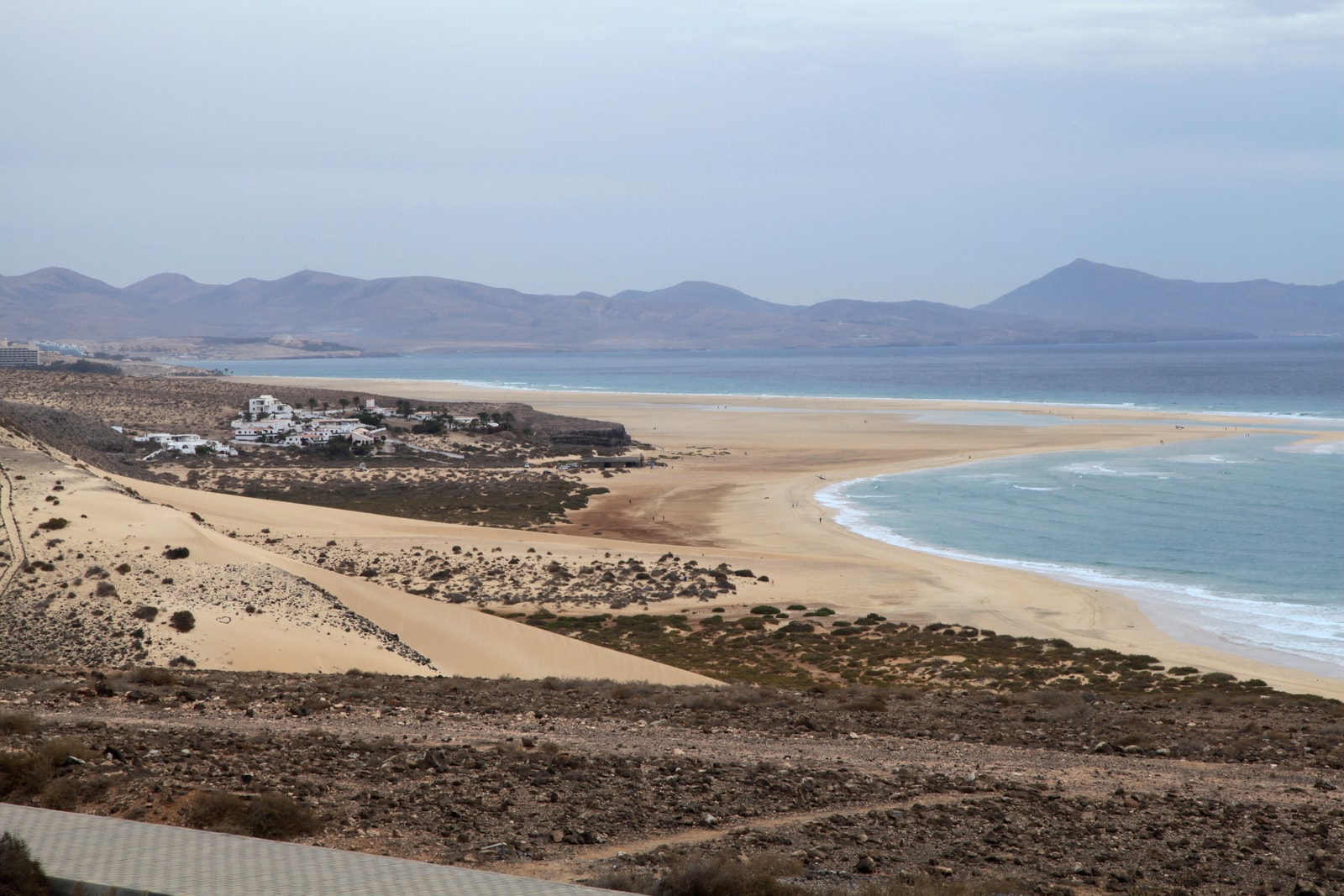
One visitor arrives to find a broad turquoise lagoon; another discovers an immense sweep of exposed sand. Both have come to Sotavento. On Fuerteventura’s southeast Jandía coast, this is a linked stretch of golden beach rather than one enclosed bay—and the tide has a large say in what it looks like.
The famous lagoon is temporary seawater behind a shifting sandbar, not a permanent pool. As the tide rises, water enters through gaps and lower parts of the sand; as it falls, the water drains back towards the Atlantic. Channels move, sandbars change shape, and wind and waves add their own variations.
For the best chance of seeing a fuller lagoon, start with the hours around high water and check the predicted height as well as the time. Spring tides can make the lagoon more prominent, while a smaller high tide may leave more sand exposed. The 2026 Sotavento lagoon timetable is a useful planning tool for the date you have in mind.
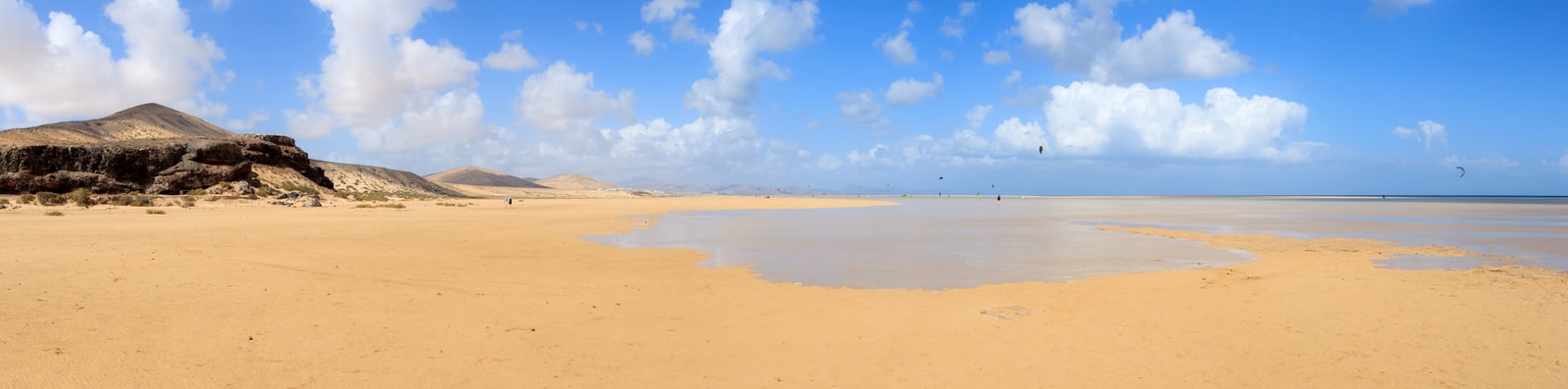
Low tide has its own appeal: broad flats emerge, the lagoon may shrink into pools, and there is more sand to contemplate. The beach changes over the course of a day, so choose your tide for the landscape you most want to see.
Playa de la Barca: Lagoon and Watersports Hub
Near Costa Calma, Playa de la Barca is the best-known starting point for Sotavento’s lagoon and its main wind-sports hub. Its appeal lies in that combination: shallows that change with the tide and a shoreline shared by people heading out on boards and kites.
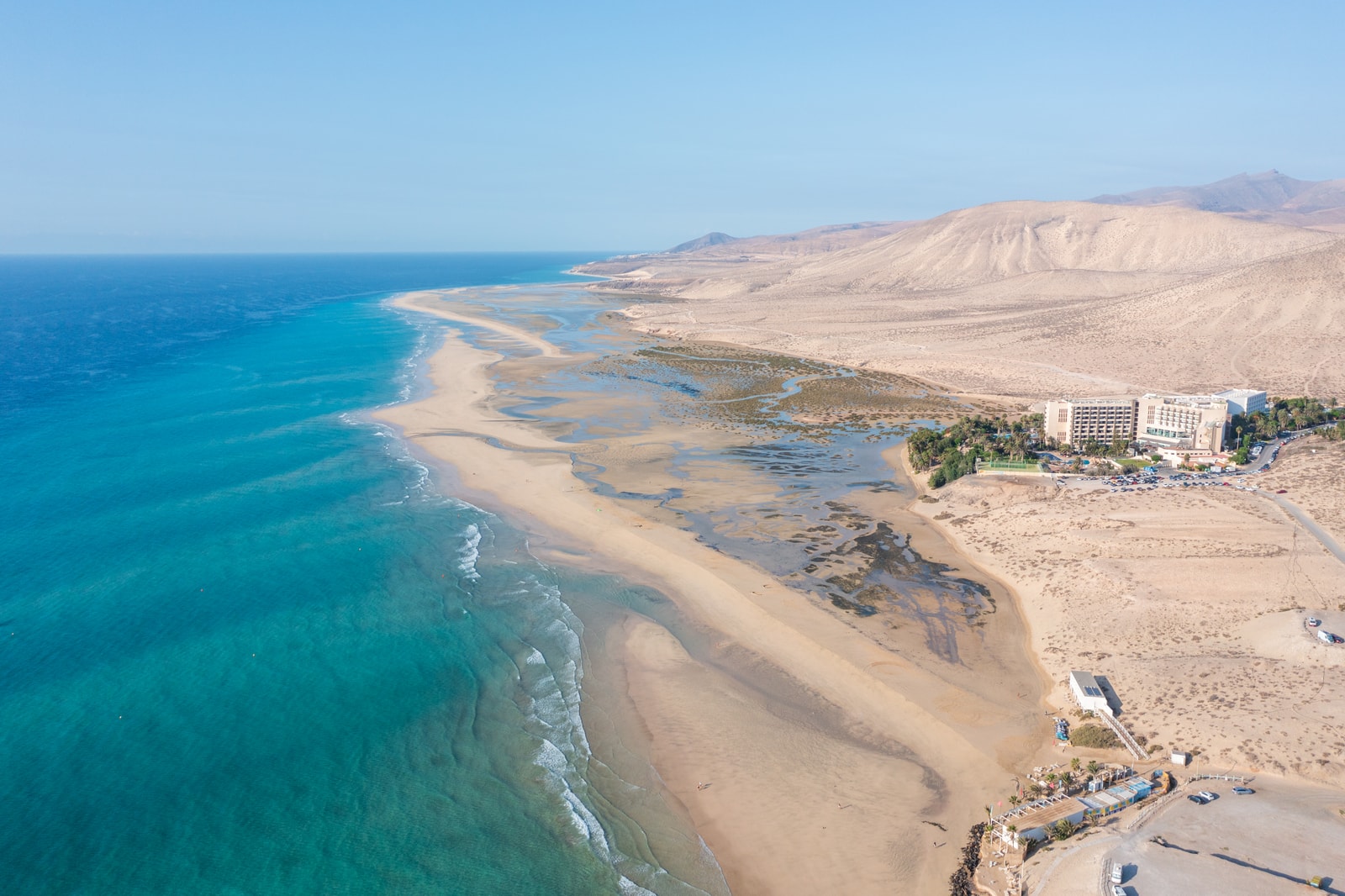
A rising tide can bring water behind the sandbar here, but the lagoon’s depth and extent vary. It may be interrupted by sand, or connected to the sea more openly than the classic photographs suggest. A calm-looking patch of water can still sit beside a windy beach.
For access, look specifically for Playa de la Barca, rather than a generic Sotavento pin. Check which services are available to beach visitors before setting out. René Egli, the local watersports centre, offers instruction and equipment services; check arrangements directly for the activity you want. Nearby resort buildings are useful landmarks, but their facilities are not automatically available to beach visitors.
La Barca is a good choice if you want the lagoon landscape and watersports activity in the same outing. You will also be sharing that landscape with other beach users, so leave space for the different ways people enjoy it.
Risco del Paso: Space, Sand and Shallows
Farther south, Risco del Paso offers another version of Sotavento: broad sand, open dunes and shallow water that changes shape with the tide. It has a less resort-centred feel than La Barca and is a rewarding choice for a walk or wind sports.
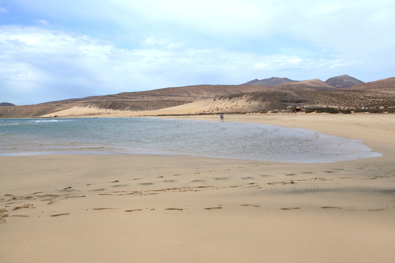
The sense of space does not mean you will have it to yourself. Risco del Paso is also a watersports destination and can be busy when conditions are good. Its channels and shallows follow the same general rhythm of advancing and retreating water, but they need not resemble the lagoon in a La Barca photograph.
Use the separate Risco del Paso access when planning your route. Bring what you need and check which services, if any, are operating rather than assuming a school, food or toilets will be available. The distinction is useful: Sotavento is the wider coast; La Barca and Risco del Paso are different places to begin exploring it.
Windsurfing and Kitesurfing at Sotavento
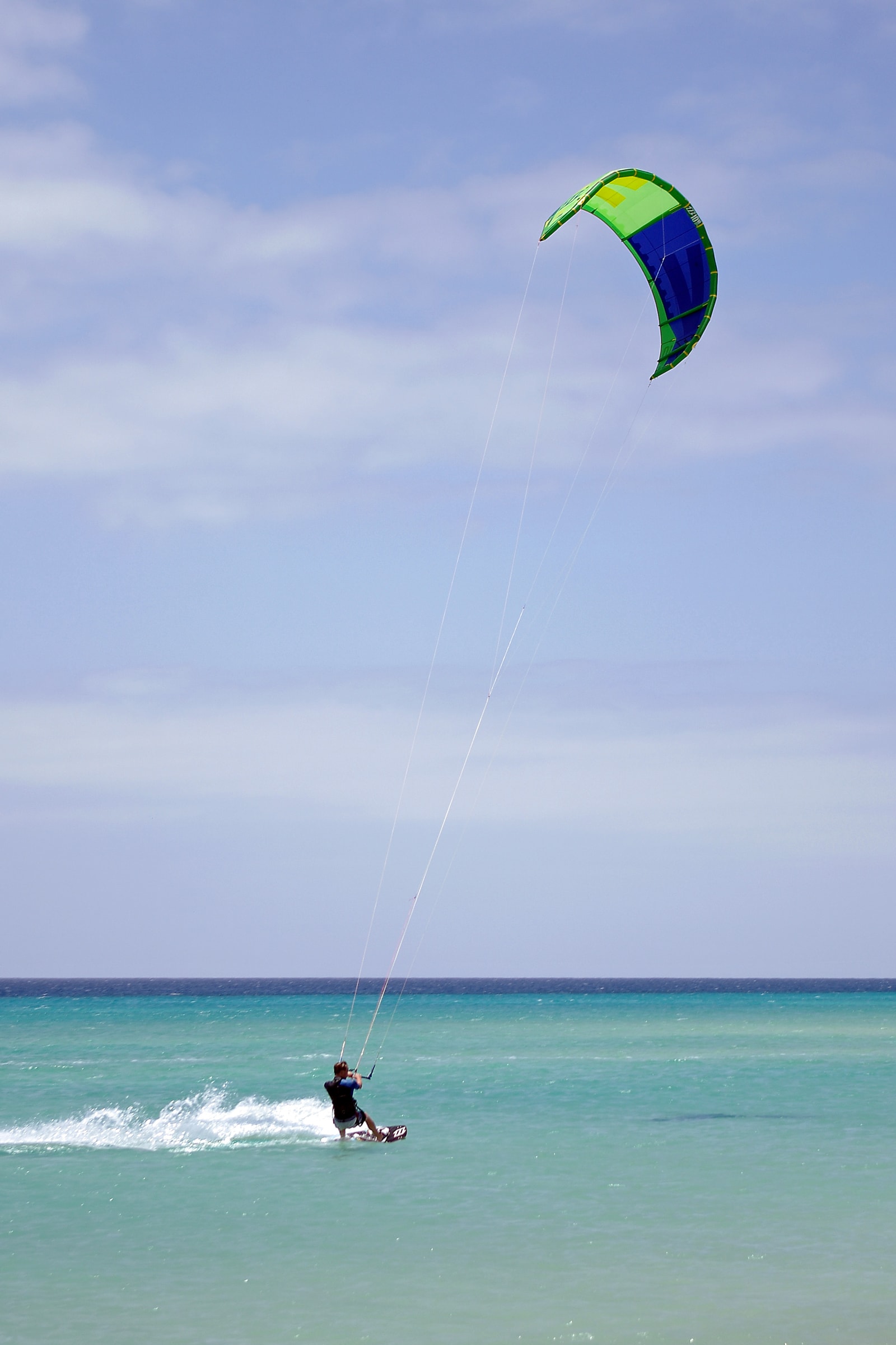
Sotavento’s international wind-sports reputation makes immediate sense once you grasp its geography. Trade winds meet a long, open shoreline, and at suitable tides the lagoon can provide shallow water for practice. The same exposure that draws riders, however, can make a beach day demanding for beginners and swimmers.
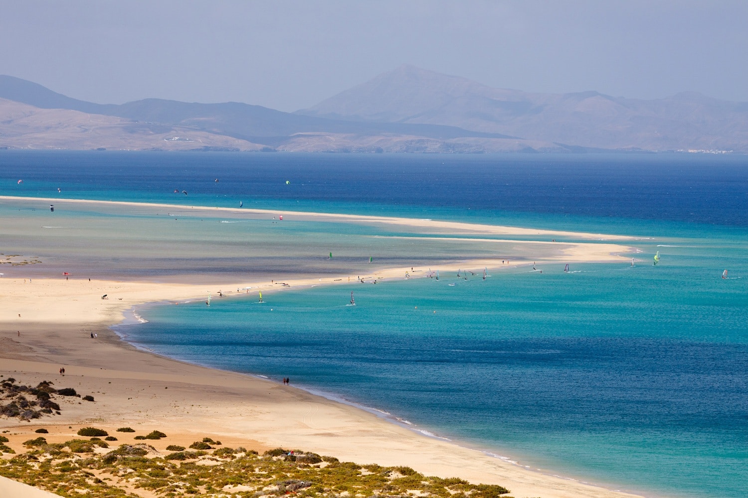
For a first session, take a lesson suited to your level rather than trying to teach yourself. Windsurfing introduces the relationship between board and rig, with equipment chosen for the learner and the wind. Kitesurfing has a different progression: supervised kite control and safety training come before riding. Open sand is not a substitute for instruction.
The school’s assessment matters more than the beach’s reputation. Wind strength and direction, the tide, permitted zones and your experience all influence where—and whether—a session makes sense. The lagoon may be useful for practice when there is enough water, but it can become too shallow as the tide changes. Beyond it, the open sea may bring chop or shorebreak.
Whether you are riding, walking or looking for a place to swim, follow marked zones and give boards, kites and other people room. The beach is large, but launch areas are working spaces as well as places to admire the view.
Sotavento Beach in December 2026
December offers a different seasonal prospect from Sotavento’s stronger summer wind period. Winter winds are lighter on average, though windy spells still occur. A mild-looking day can feel rather different once the breeze is blowing sand across an exposed beach.
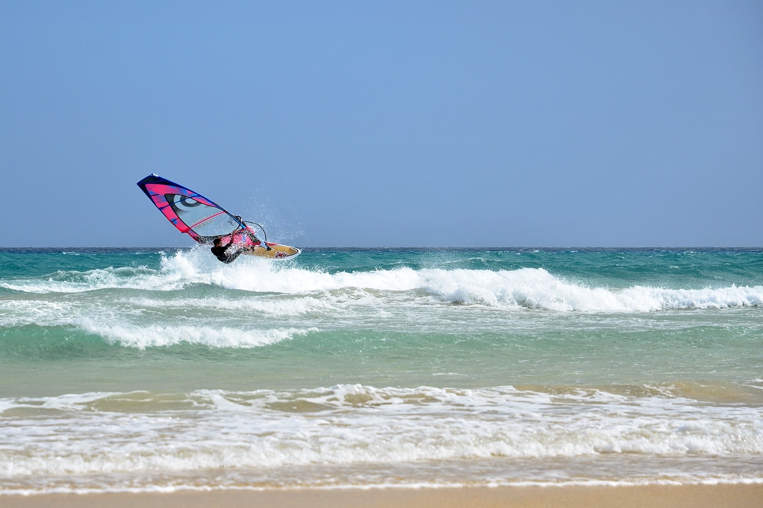
As a broad climate reference, typical December–February daytime highs are around 21–22°C at Fuerteventura’s airport climate station. That figure describes the airport record, not the conditions you will necessarily find at Sotavento. Sea temperatures are roughly 18–20°C; a wetsuit can make sense for an extended swim, and a wind-resistant layer is useful on shore.
Your preferred version of the beach should guide the timing. A rising or high tide, with sufficient predicted height, improves the chance of a more visible lagoon. Lower water favours the exposed-sand scenery. If a relaxed walk or swim is the priority, a lighter-wind morning may offer better odds, but the tide, sea state and local flags still matter. Check them together rather than choosing a time on temperature alone.
Walking Sotavento’s Dunes and Tidal Flats
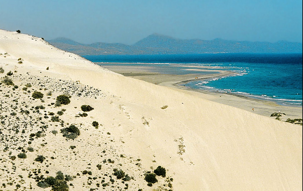
Away from the water, Sotavento’s colours are part of the attraction: pale sand and blue-green shallows sit against dry volcanic terrain, sparse vegetation and low dune ridges. This is an arid coast with dunes in places, not an uninterrupted field of towering sand.
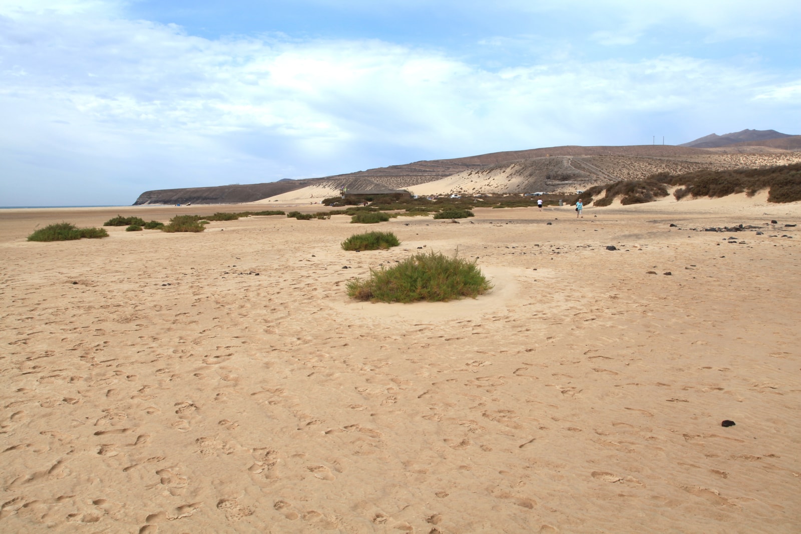
A long walk lets you appreciate the scale of the shore and the shifting line between water and beach. At lower tide, flats open up and the sea can feel surprisingly far away. The temptation is to keep following the sand wherever it leads; the sensible part is remembering that the route back may look different.
A visible sandbar is not a dependable return path. An incoming tide can fill or send water through a channel before the surrounding flats look deeply flooded. Avoid crossing flowing channels or any route you cannot judge confidently, and turn back before rising water makes the decision for you.
Use established paths where they are available, avoid walking over dune vegetation, leave wildlife undisturbed and take litter away. The landscape’s spare appearance is no reason to treat it as empty ground.
Is Sotavento the Right Beach for You?
Sotavento rewards visitors who want room to walk, photograph the changing coast or try supervised wind sports. It is less dependable as a place for sheltered swimming, abundant facilities or a ready-made patch of shade. Its openness is both the attraction and the catch.
Families may find shallow lagoon water when the tide and conditions suit, but depth, channels and wind change. Keep children close in the water and assess the conditions on arrival rather than choosing a spot by its appearance alone.
If easy access to resort services matters more than a vast tidal landscape, the beaches around Costa Calma offer a more resort-oriented alternative, with services nearby. They can still be windy, so look at conditions there too.
At Sotavento, soft sand and variable distances from the access point to the water can make a visit difficult for people with limited mobility. Check the particular entrance before travelling rather than assuming that a route suitable at one section will be available at another.
Getting to Sotavento and Planning Your Day
First choose La Barca or Risco del Paso; then check the route, predicted tide time and height, wind and sea conditions for your day. From Costa Calma, take the FV-2 and follow the marked route to your chosen access. A car is the easiest way to explore separate sections. The Sotavento Beach map can help with broad orientation, but use the specific section for your final route.
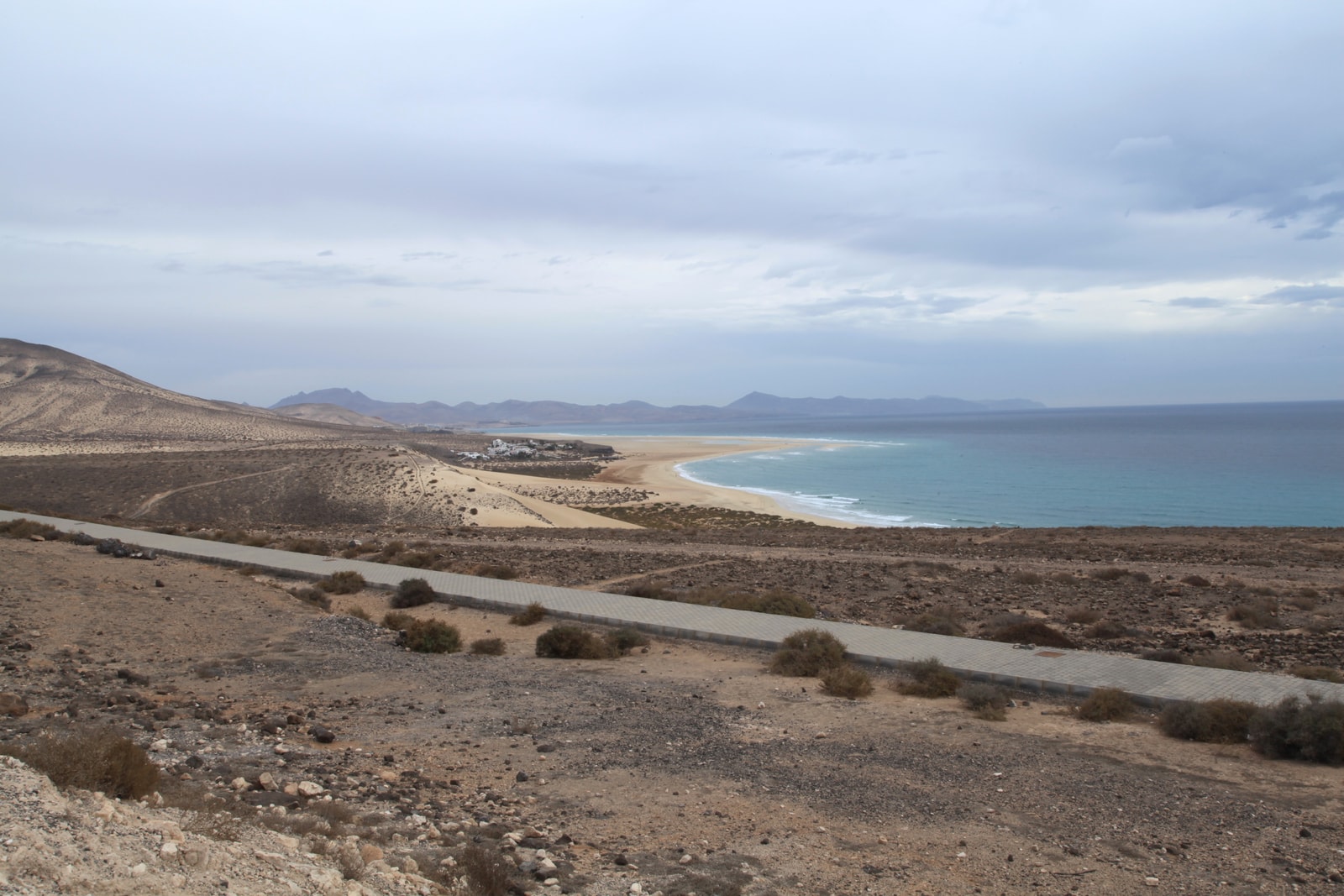
If travelling by bus, check TIADHE’s current timetable and stops for the exact date; do not assume a bus reaches your chosen beach access, and plan the walk and return before you set out. A taxi from Costa Calma is another option if you arrange the return. If driving, use designated roads and parking; keep vehicles off the beach, dunes and soft sand.
Before settling in, make a quick assessment of the beach you have actually found:
- Bring supplies: Carry water, food, sun protection and a wind-resistant layer. Do not assume toilets, shade or a lifeguard are available at every stretch; check the chosen access point.
- Read the flags and ask locally: Red means no swimming; yellow means caution; green indicates lower risk, but conditions still need your attention. If no flag is visible, assess the water rather than assuming it is safe.
- Give watersports space: Keep clear of kites, boards and launch areas, and use marked swimming zones where provided.
- Stay close to children: Keep them within arm’s reach in the water, including in the lagoon.
- Keep your return clear: Stay out of uncertain or flowing channels, and do not enter the water if conditions are unclear. In an emergency, call 112.
If the wind or water is unsuitable, the shoreline still offers plenty to enjoy from land. Sotavento is easier to appreciate when you let the beach decide which kind of day it will be.
Gallery